|
Mounts Pierce and Jackson via the Crawford Path and Webster Cliff and Webster-Jackson Trails |
|---|
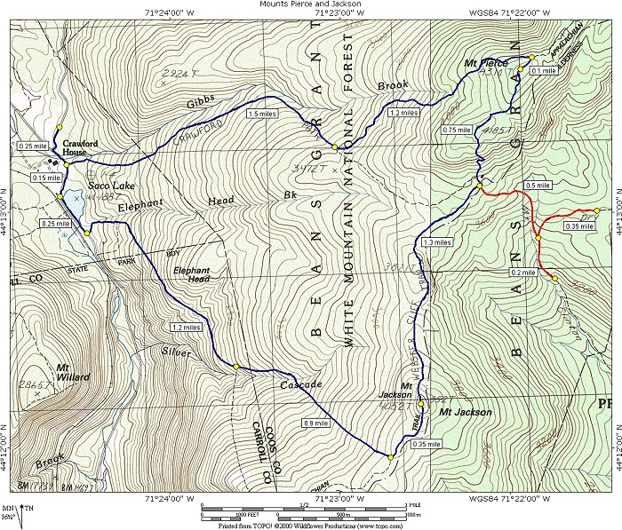
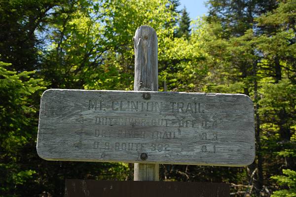
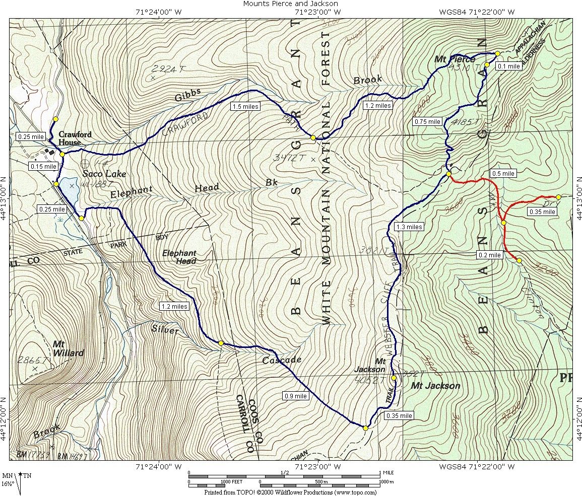
This day hike involved going up the Crawford Path to Mount Pierce and then taking the Webster Cliff Trail from there over to Mount Jackson. From there I took the Webster-Jackson Trail back down to Route 302 and the parking lot.
|
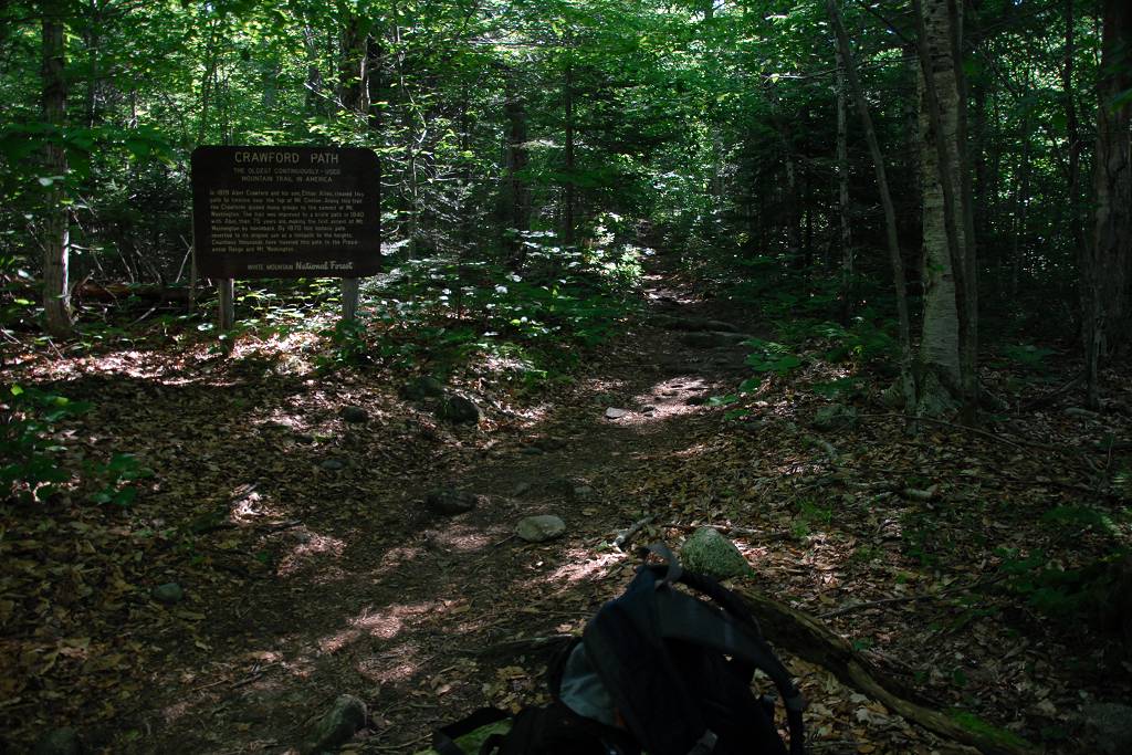
The starting point for this hike was the parking lot across the road from the Crawford House in Crawford Notch.
I was up at 4:30 for this one and out of the house by 5:00. I stopped for breakfast on the way up tp new Hampshire and arrived at the trailhead around 9:00.
|
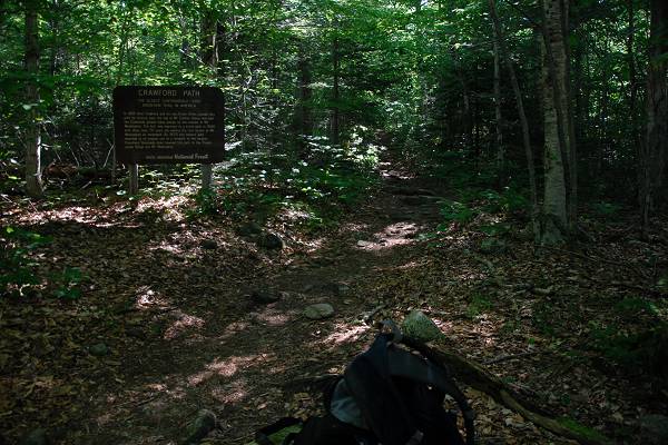
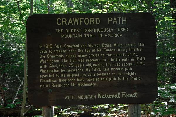
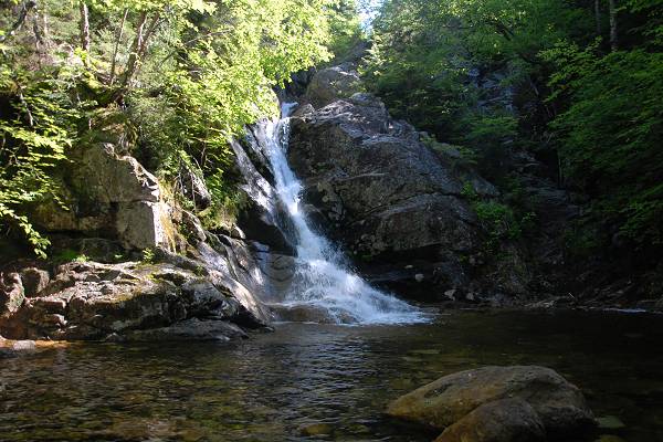
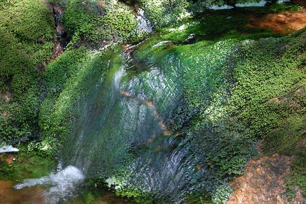
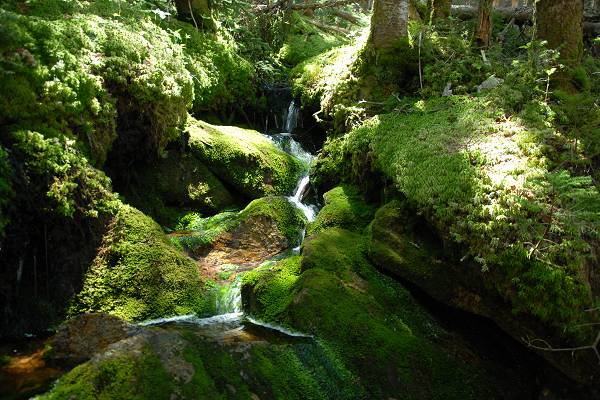
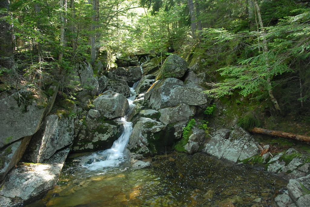
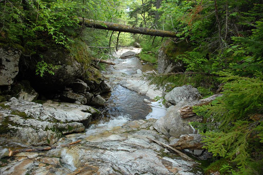
The hike up the Crawford Path to the top of Mount Pierce was one of the easiest hikes I have ever done in the Whites. The trail climbs continuously upwards from the trailhead to the summit of Mount Pierce but it is a very moderate climb with no real steep portions. The trail follows along the south side of Gibbs Brook for most of the distance, sometimes closer and sometimes further away. For the first 1¼ mile or so I was never far away and could always hear it running. There are numerous small waterfalls and cascades along the way and the largest of the waterfalls, Gibbs Falls, is located about 0.4 mile from the trailhead.
|
After a little more than 1½ miles the Mizpah Spring cut-off trail enters from the southeast (right) and the Crawford Path continues to the northeast (left). I was much further away from Gibbs Brook at this point and could no longer hear it but the trail eventually comes back to a really damp and green section that are the headwaters for the brook.
|
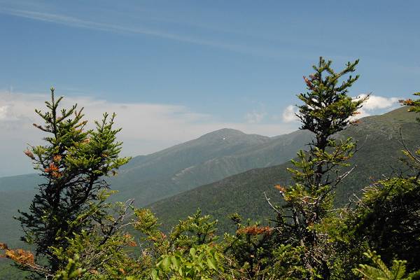
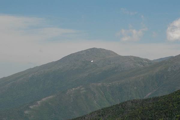
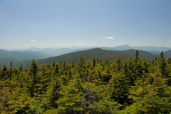
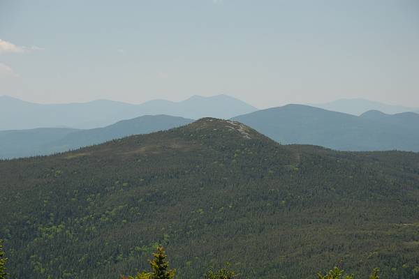
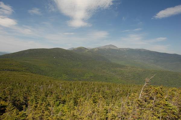
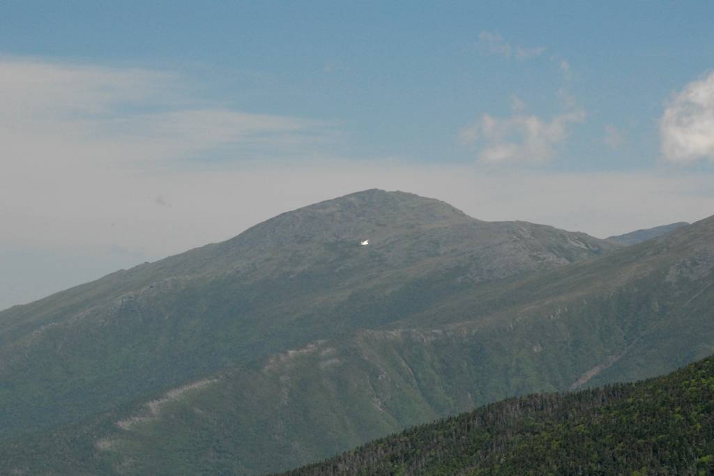
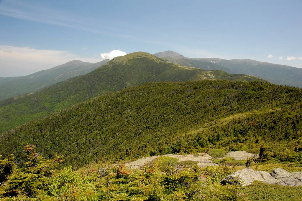
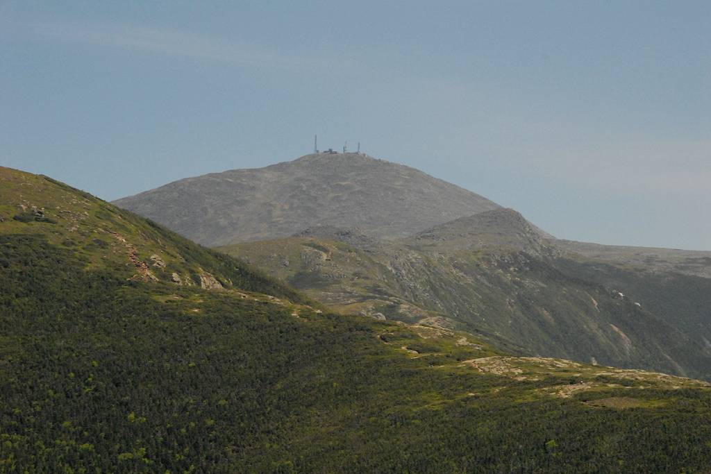
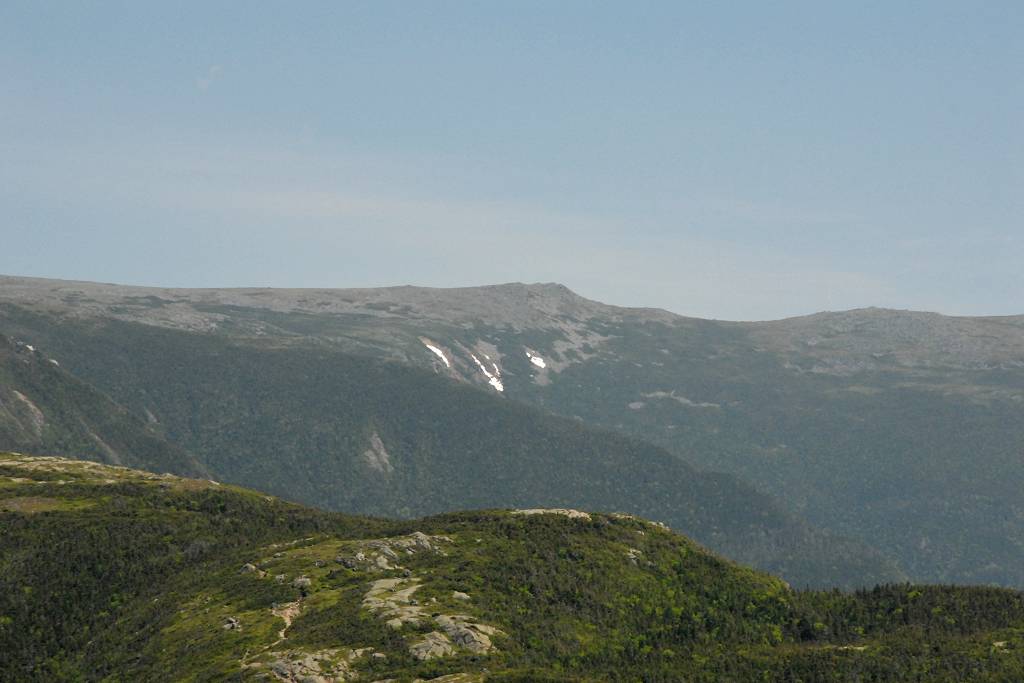
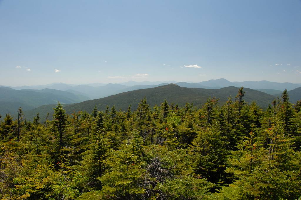
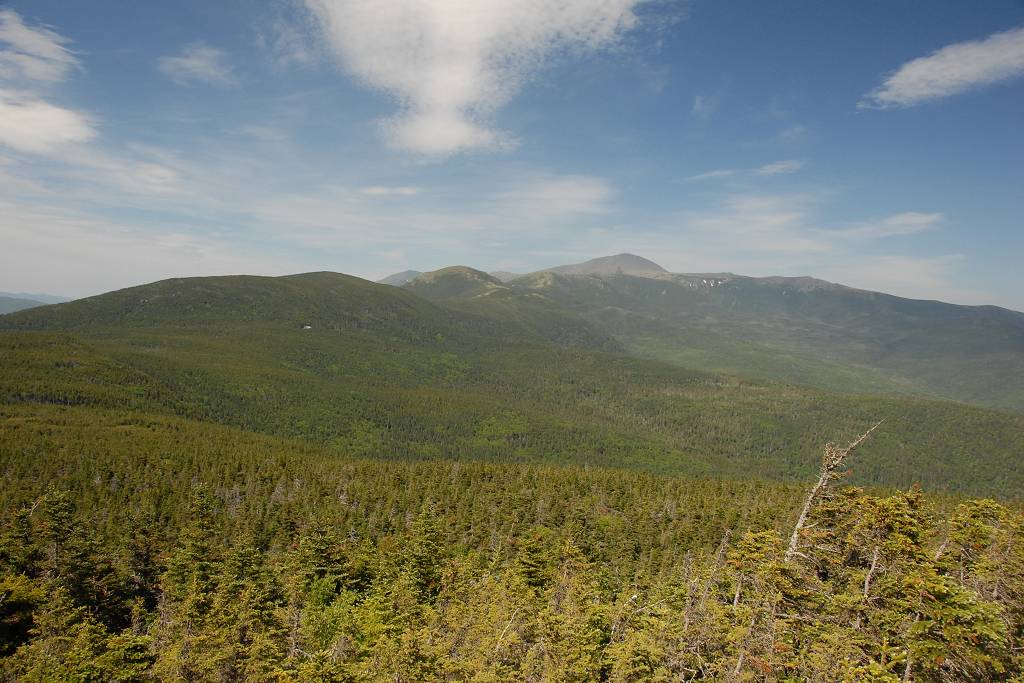
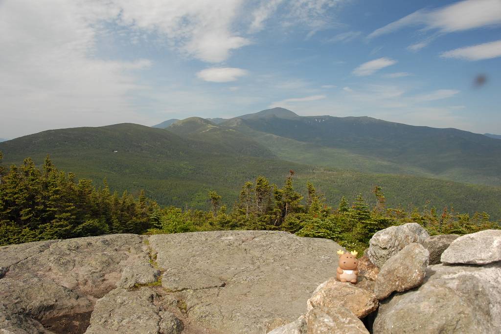
The trails starts to level out a little beyond where it finally leaves Gibbs Brook behind, but it never gets completely flat and continues ever upward until the last quarter mile to so when I eventually came to some ledges with awesome views of the Presidential Range to the north and east.
|
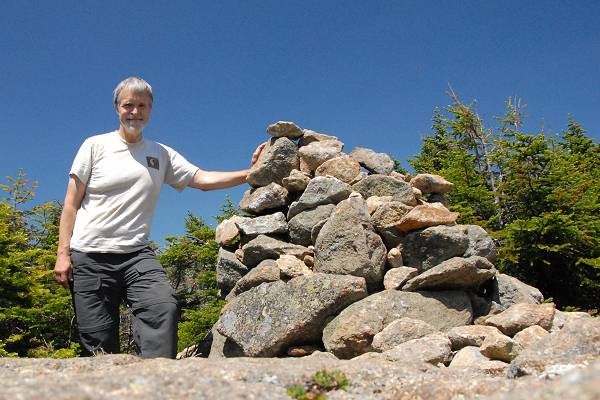
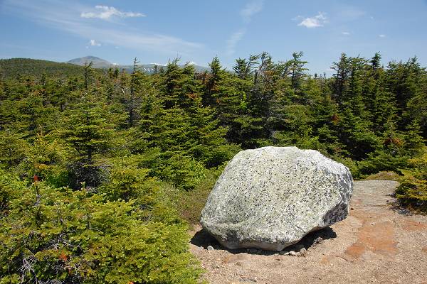
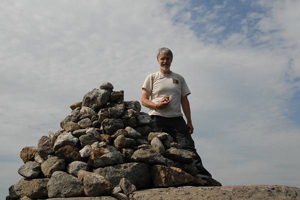
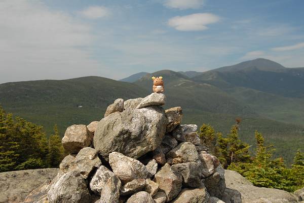
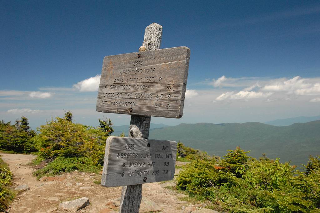
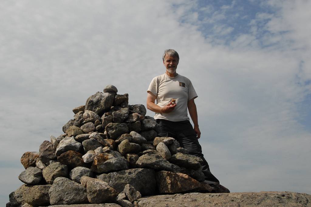
From the ledges to the summit was only another 0.1 mile or so. There was a huge cairn marking the summit and I rested there a while and took some more photos before continuing on.
|
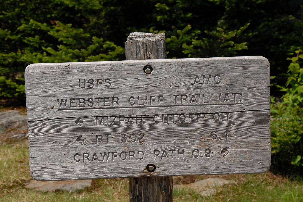
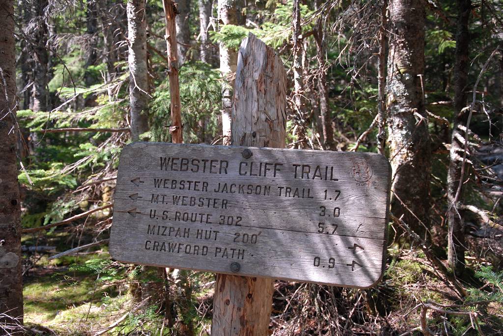
The hike down from the summit to the Mizpah Spring AMC Hut was also very nice. I think this was the northern section of the Webster Cliff Trail or it could just be a spur of the Crawford Path, I am not sure. It followed a ridge between Mount Pierce and another nameless peak a little further south before finally starting down. The descent on this side is steeper than the climb up was and stair-like ladders have been constructed in a couple of sections to assist hikers.
|
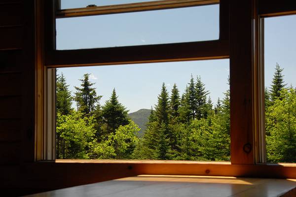
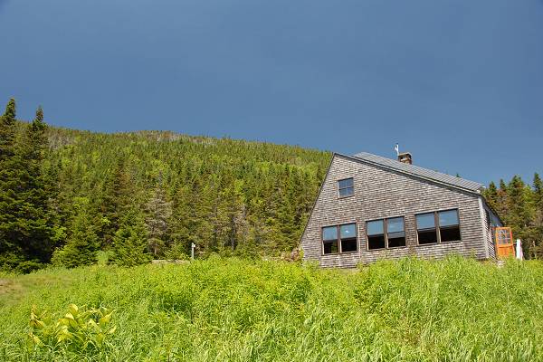
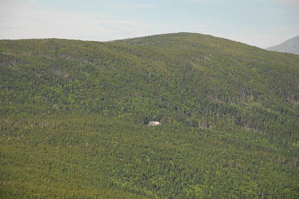
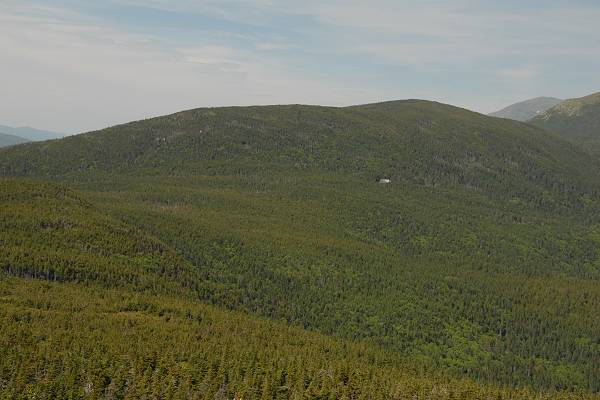
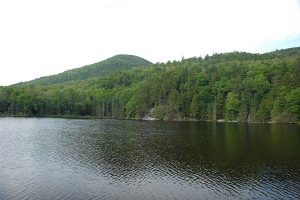
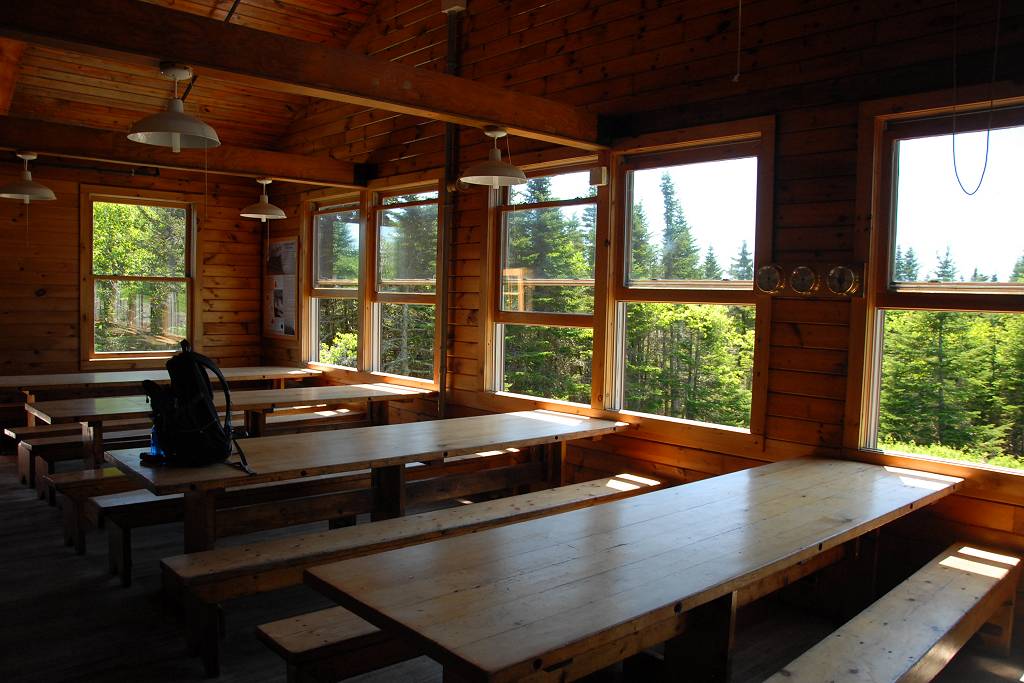
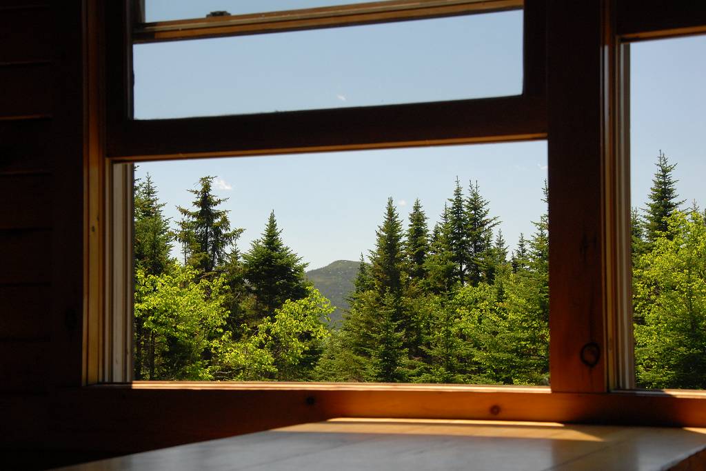
The Mizpah Spring AMC Hut was very nice. I stopped in to fill my empty water bottle and decided to have a slab of the delicious looking chocolate cake that they had for sale.
|
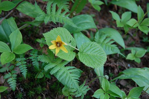
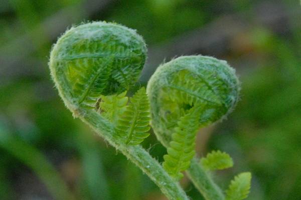
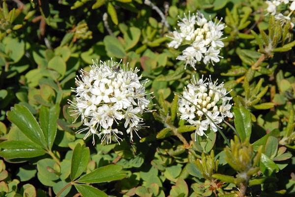
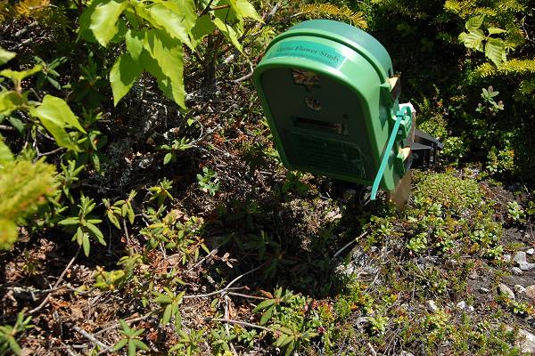
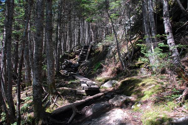
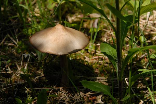
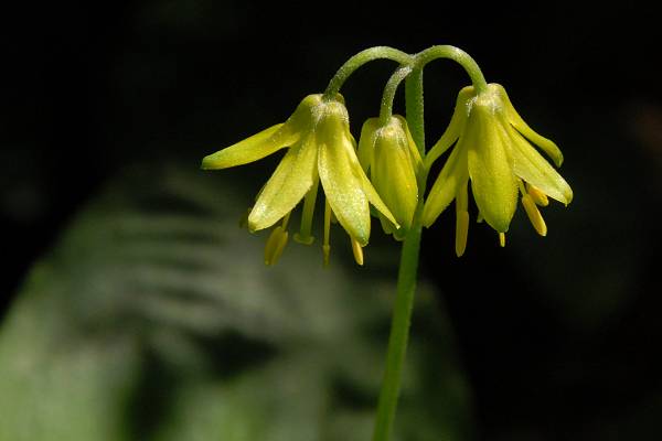
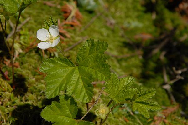
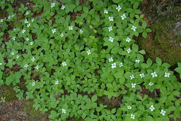
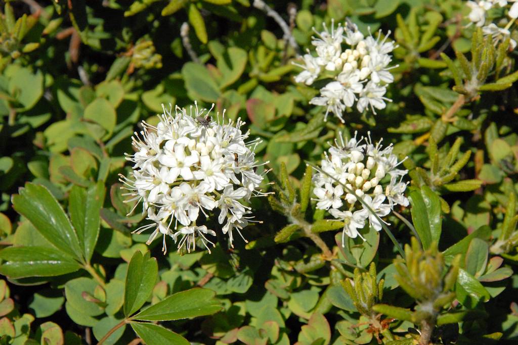
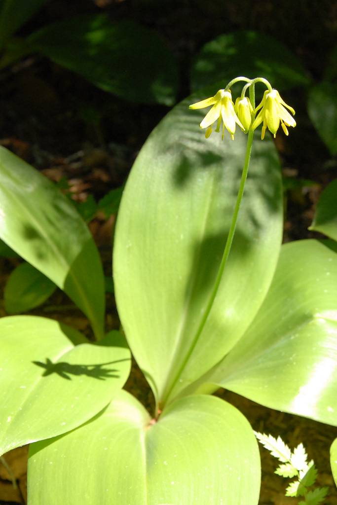
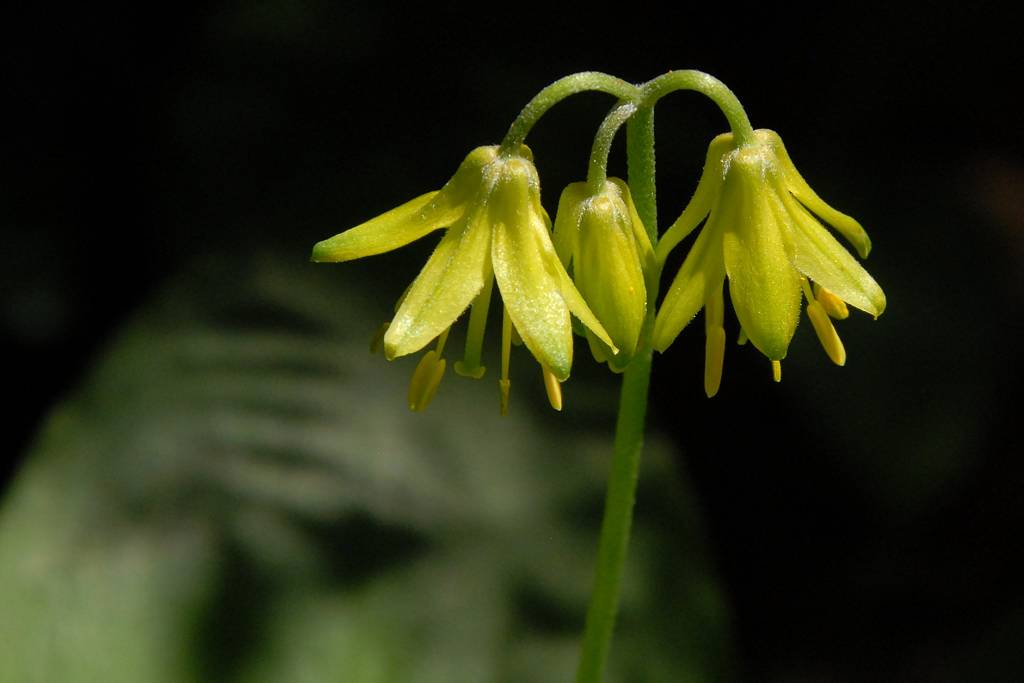
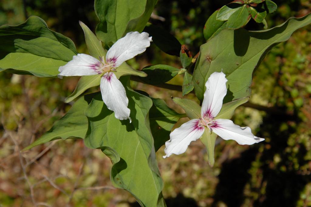
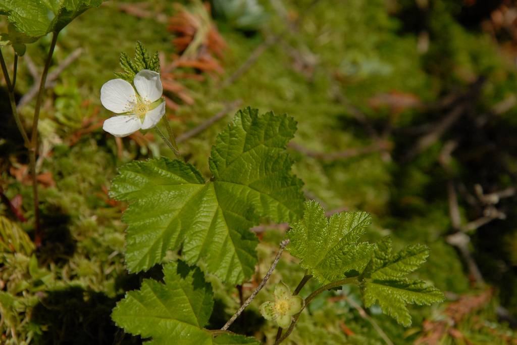
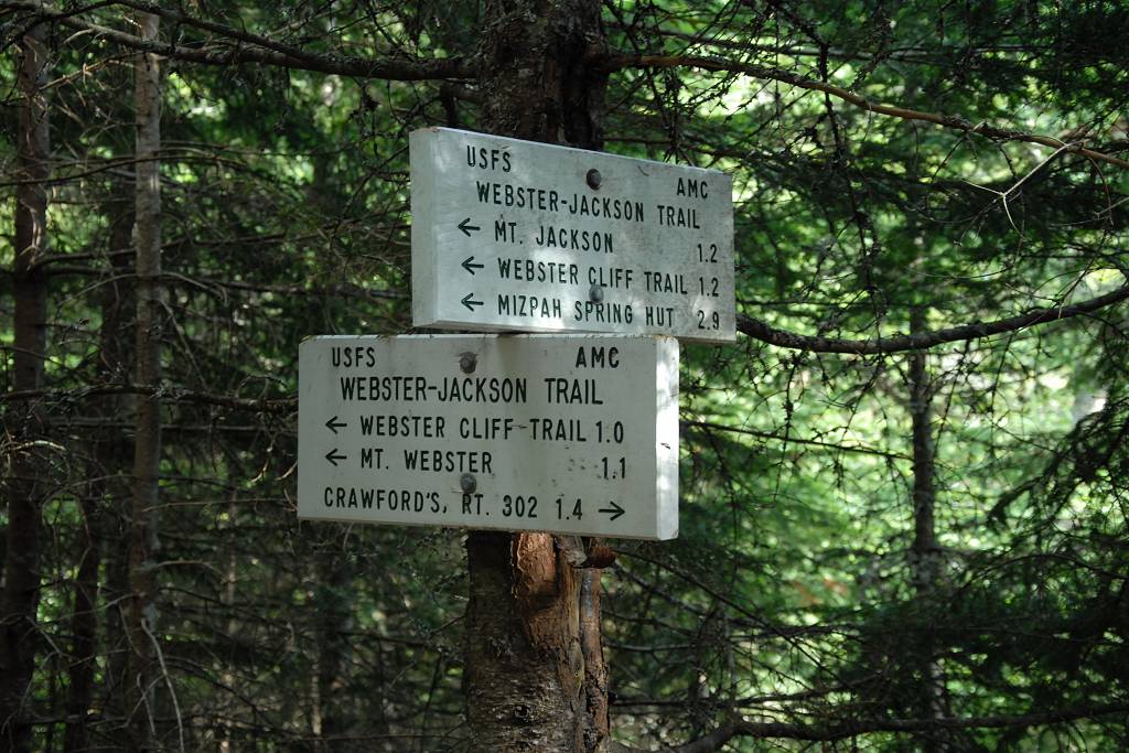
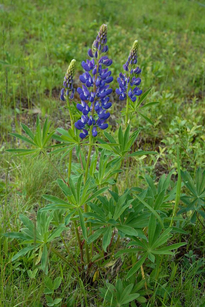
The day had been very nice up to this point but the "nice" was about to end for a little while. I took the wrong trail leaving Mizpah because it seemed to be heading in the right direction, towards Mount Jackson. Someone even asked me it was the right trail to Jackson and I told them it was. My bad. I watched my GPS as I was hiking down this trail and I was getting closer to Jackson but then I started getting further away. After a while of not getting any closer I decided to turn around. I called ahead several times hoping to warn the guy ahead of me that he was not on the right trail but I never got any response. He was moving a lot faster than I was… I wonder if he ever turned back. On the way back to the Mizpah Hut I noticed a turn-off that I had missed on the way down and since that was heading more in the direction of Mount Jackson I took it. I watched the GPS again and was definitely getting even closer to Jackson… and then I started getting further away again. WTF! So again I gave up and went all the way back to the Mizpah Spring Hut… having wasted about an hour and a half going nowhere. Most of it wasn't even a pretty nowhere. Those other trails were nasty with lots of mud and the boardwalks over the muddy sections had decayed to the point of being pretty much useless. I did find one pretty flower though so there is that small (very, very small) silver lining.
|
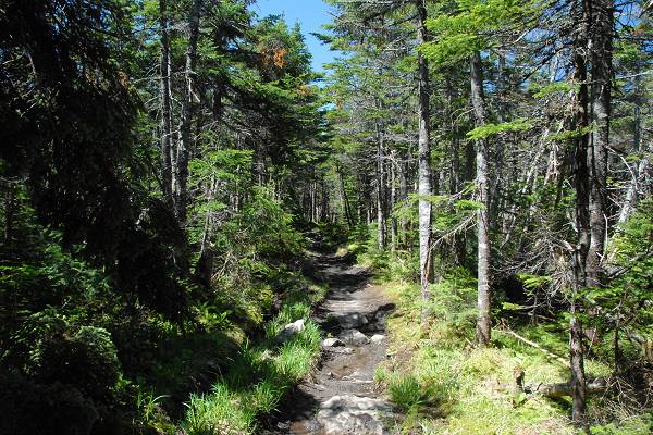
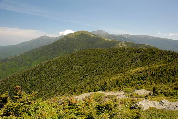
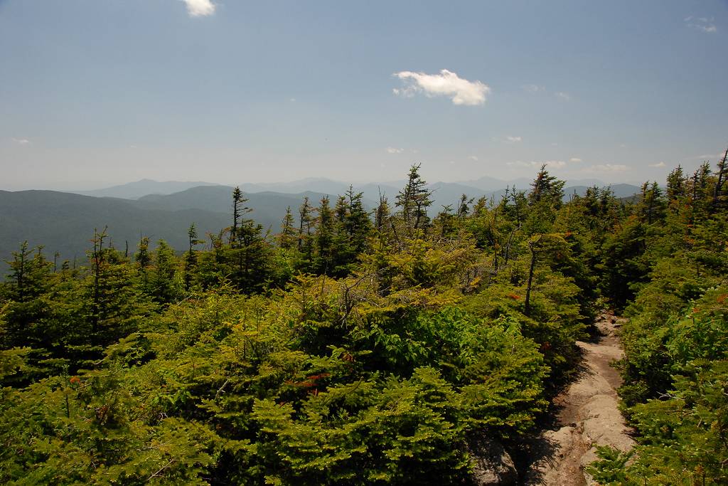
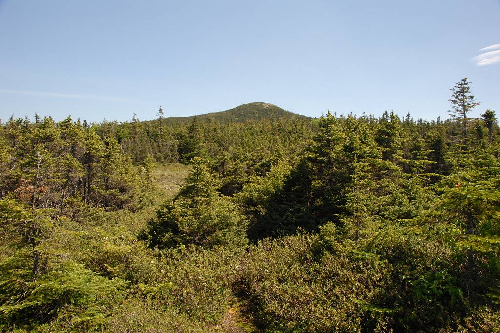
Once I got on the right trail it was a wonderful hike to the top of Mount Jackson. There was a brief descent through a more forested section before reaching the ridge which was more exposed.
|
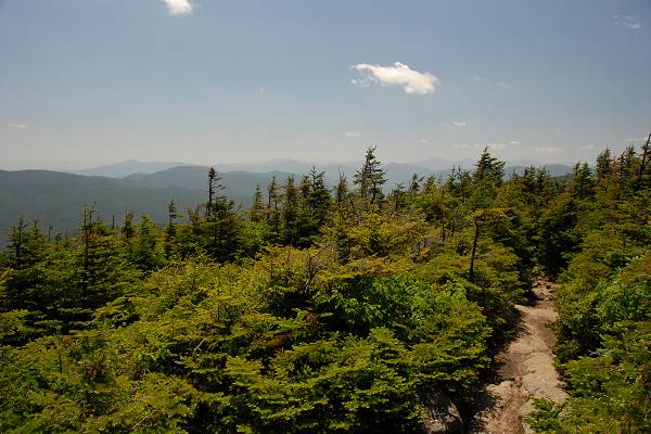
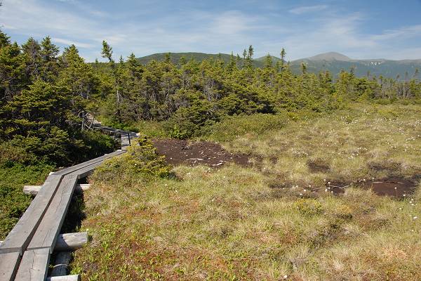
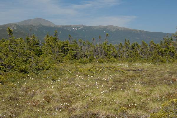
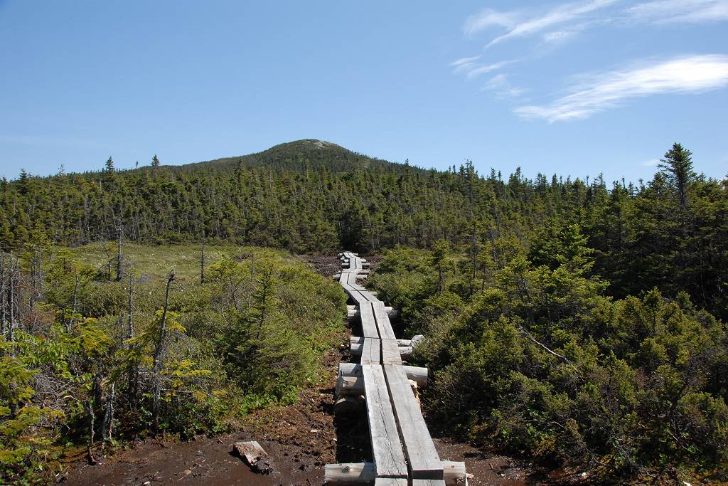
There were some little ups and down but mostly the trail just followed the ridge. There were numerous boardwalks across the more damp and alpine sections and the views were wonderful.
|
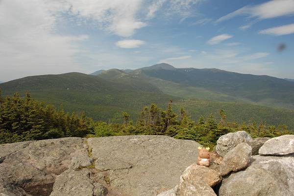
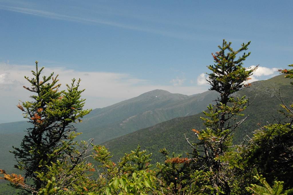
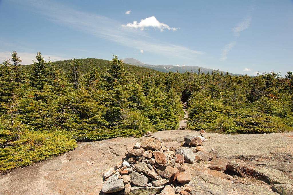
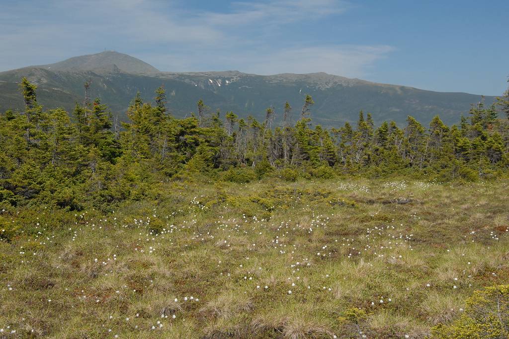
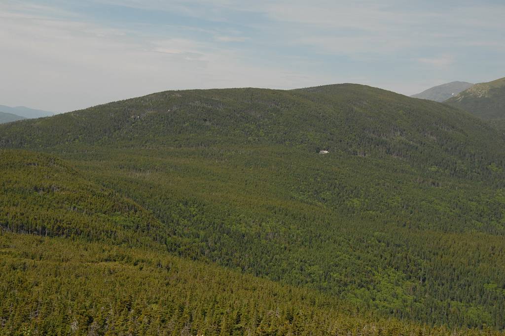
When the trail started to climb the northern face of Mount Jackson there were some magnificent views of the Presidential Range, Mount Pierce and the Mitzpah Spring Hut to the north.
|
There was a long, steep scramble up the cone of Mount Jackson once I finally got there but that was no big deal.
|
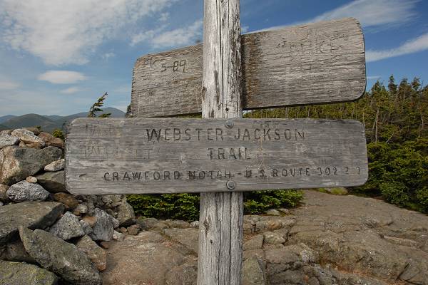
The hike down from Mount Jackson, back to Crawford Notch, was the worst of the day's hiking… which is not good when you are already getting tired. Compared to the relatively easy hike up the Crawford Path and then across the ridge on the Webster Cliff Trail the Webster-Jackston was very rocky and very steep. Things settled down a little after the junction with the lower trail to Mount Webster as the trail more or less contours around the southern portion of Elephant Head. Beyond that there is more descent that is still very rocky in places but not nearly as steep as the upper portions.
|
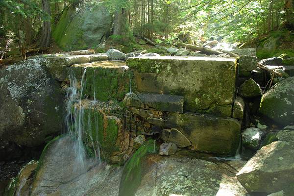
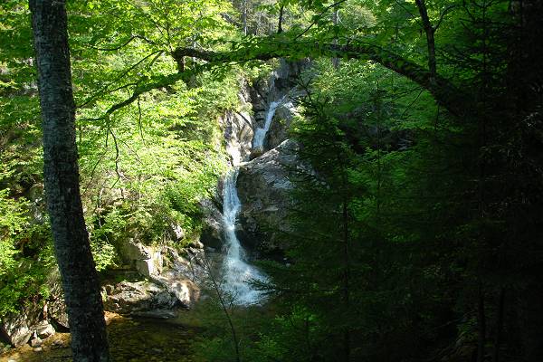
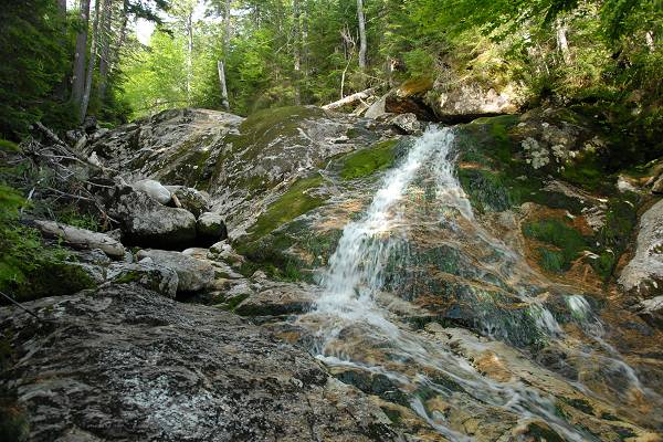
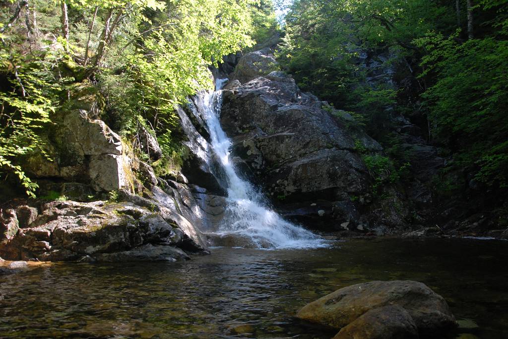
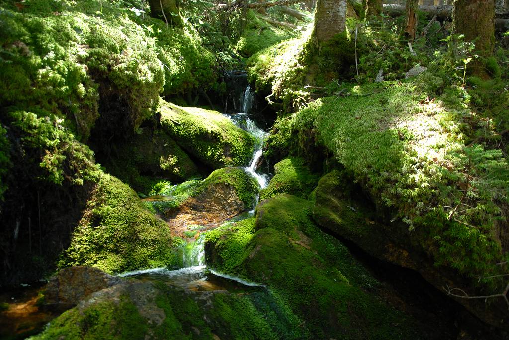
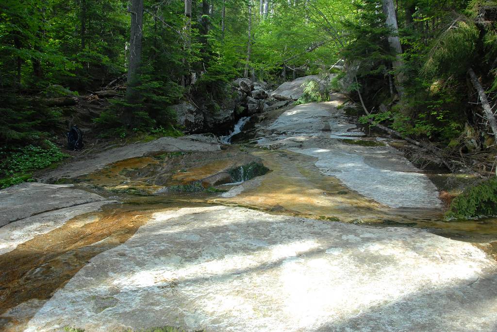
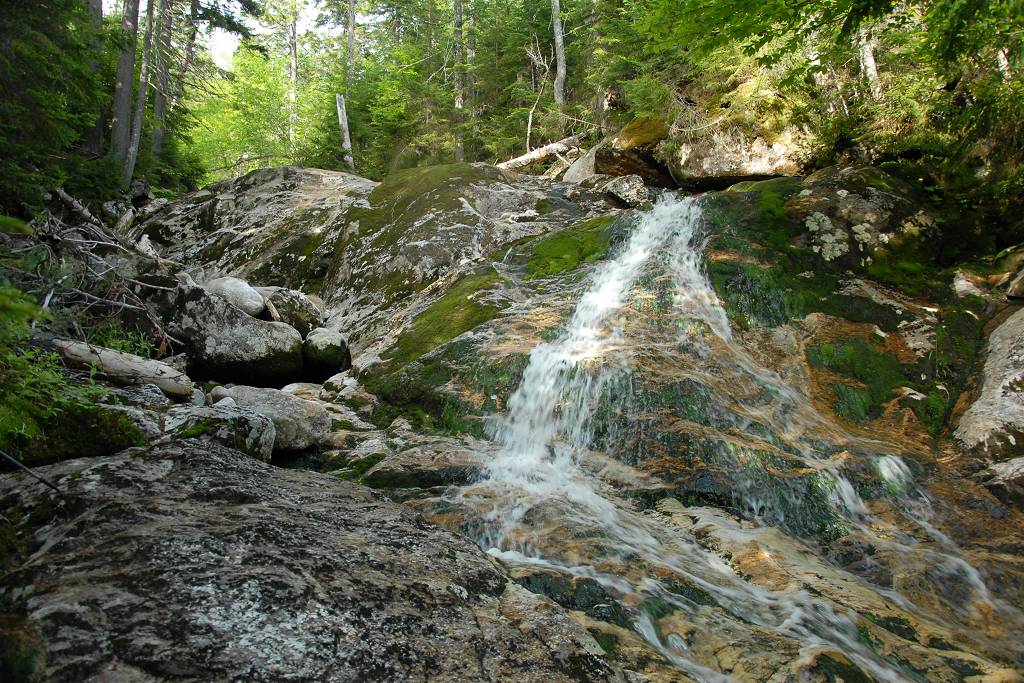
There was a very nice slick-rock cascade and waterfall towards the end of the contour. The water source doesn't seem to have a name, just some nameless brook flowing down from Elephant Head. It was a refreshing place to stop for a rest and cool off a little.
|
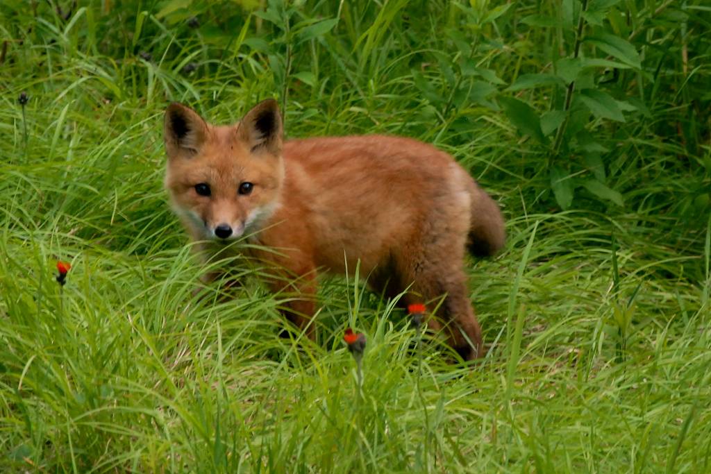
I reached the trailhead at New Hampshire Route 302 a little after 6pm and was back at my car around 6:20. As I was leaving the parking lot at the trailhead a cute little baby fox darted out from behind some tall grass and I had to park the car again to try and get a shot of him. He seemed pretty young to be wandering around without his mom but he wasn't exactly small and maybe mom was not far away.
|
|
|
|---|
|
|---|


